

PHP2Shell NZ tracker
by Adam
An hourly tracker of NZ sites and their PHP versions during the PHP2Shell bug, with a free site checker.
A map that scores New Zealand towns for natural hazards and cross-references their disaster history, so the safer spots stand out.
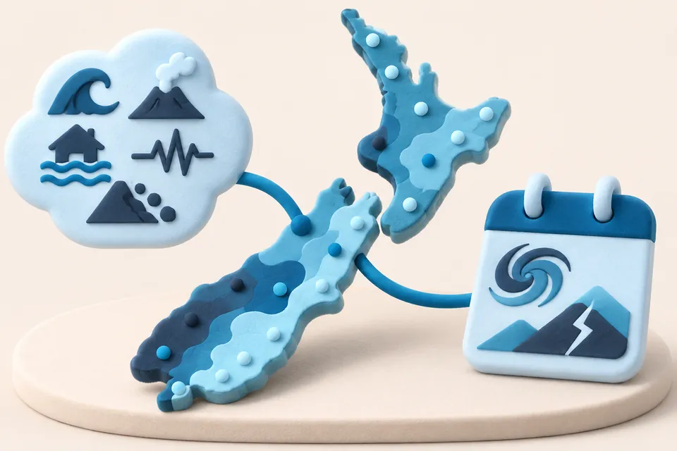
NZ Safe Zones is an interactive map that rates about 200 New Zealand towns across five hazards: flood, earthquake, volcanic, tsunami and landslip. Each town is cross-referenced with recorded disasters, such as Cyclone Gabrielle and the 2016 Kaikōura earthquake, so the quieter places stand out.
It is a general research tool for people curious about relative risk around the country. It is not official hazard mapping, and the map itself points people to council LIM reports and hazard portals before buying or building.
by Adam
An hourly tracker of NZ sites and their PHP versions during the PHP2Shell bug, with a free site checker.
by Caleb
A growing collection of interactive data stories, with maps and charts on Indonesia, Southeast Asia and New Zealand.
by Matt
A civic experiment that uses a small AI model to read ministers' replies to written questions in Parliament and say whether they gave what was asked.