

PHP2Shell NZ tracker
by Adam
An hourly tracker of NZ sites and their PHP versions during the PHP2Shell bug, with a free site checker.
An interactive map of publicly known CCTV and number-plate (ANPR) cameras across New Zealand, filterable by camera type and agency.
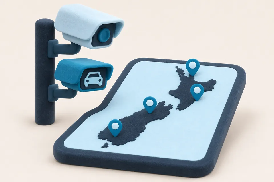
The NZ CCTV Camera Map shows the locations, purpose and owner of public CCTV cameras. It began with Auckland and now covers councils and agencies across New Zealand.
All of the data is already public, gathered from council websites, open map layers and past Official Information Act releases. It is meant to help researchers, people looking for footage after an incident, and anyone curious about camera coverage, and to cut down repeat information requests to councils. The data is not updated often, so councils remain the source of truth.
by Adam
An hourly tracker of NZ sites and their PHP versions during the PHP2Shell bug, with a free site checker.
by Caleb
A growing collection of interactive data stories, with maps and charts on Indonesia, Southeast Asia and New Zealand.
by Matt
A civic experiment that uses a small AI model to read ministers' replies to written questions in Parliament and say whether they gave what was asked.