

PHP2Shell NZ tracker
by Adam
An hourly tracker of NZ sites and their PHP versions during the PHP2Shell bug, with a free site checker.
A live map of Auckland showing public transport, aircraft and weather, built with MapLibre and deck.gl.
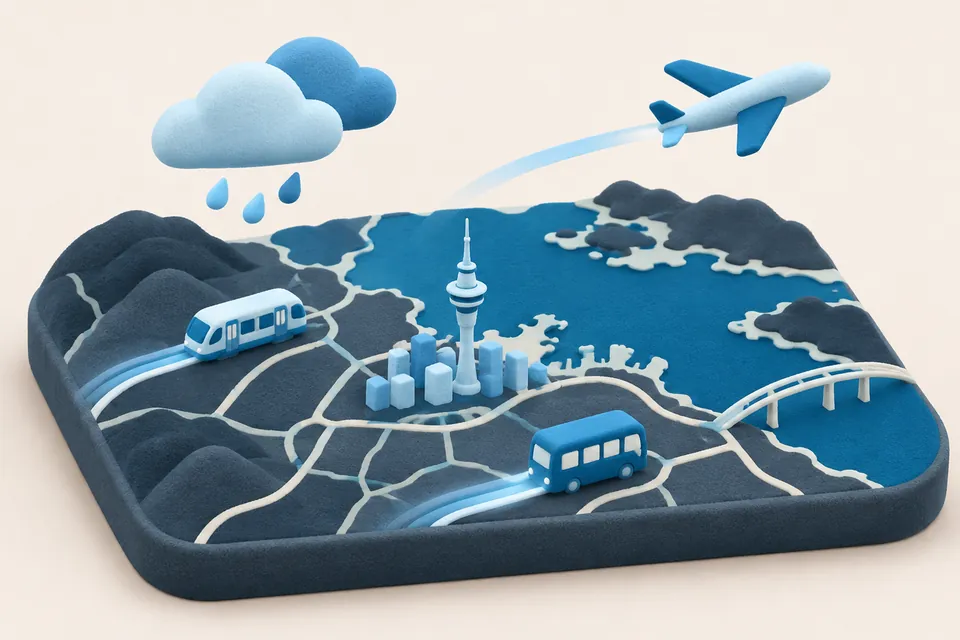
Auckland Live is a real-time map dashboard for Auckland. It shows public transport, aircraft, traffic flow and weather over a street or aerial basemap.
It brings together free public data feeds, including Auckland Transport's live vehicle positions, OpenSky aircraft data, TomTom traffic tiles, RainViewer radar and Open-Meteo forecasts. It is open source, so others can run their own copy, and it is careful to label estimates and stale data.
by Adam
An hourly tracker of NZ sites and their PHP versions during the PHP2Shell bug, with a free site checker.
by Caleb
A growing collection of interactive data stories, with maps and charts on Indonesia, Southeast Asia and New Zealand.
by Matt
A civic experiment that uses a small AI model to read ministers' replies to written questions in Parliament and say whether they gave what was asked.